OVERVIEW
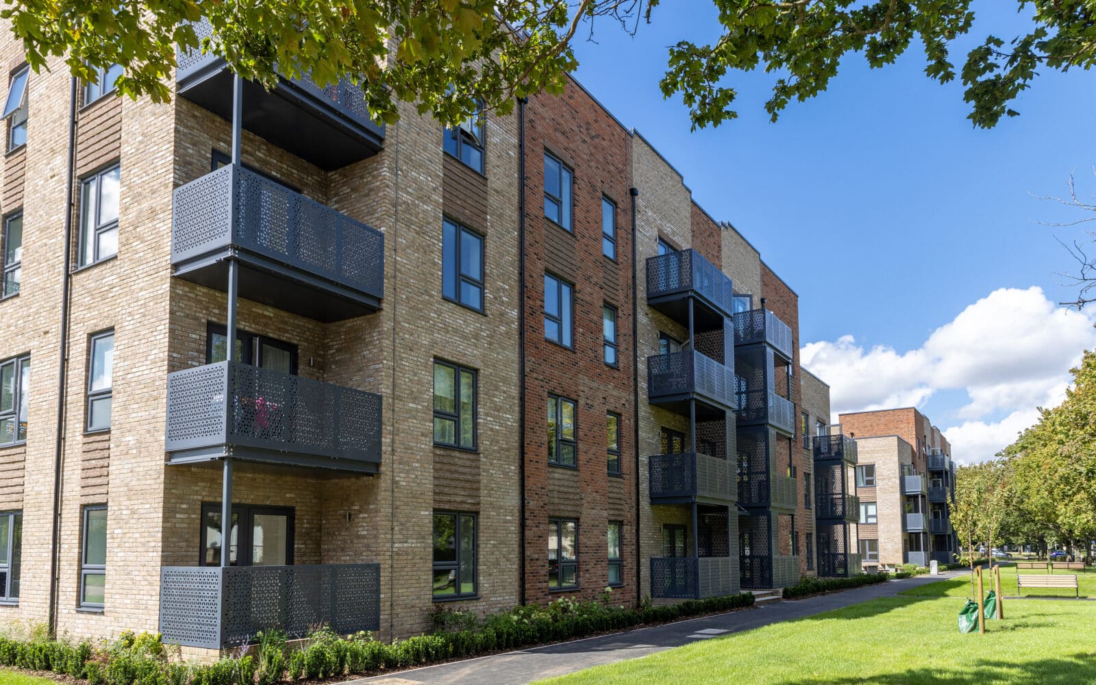
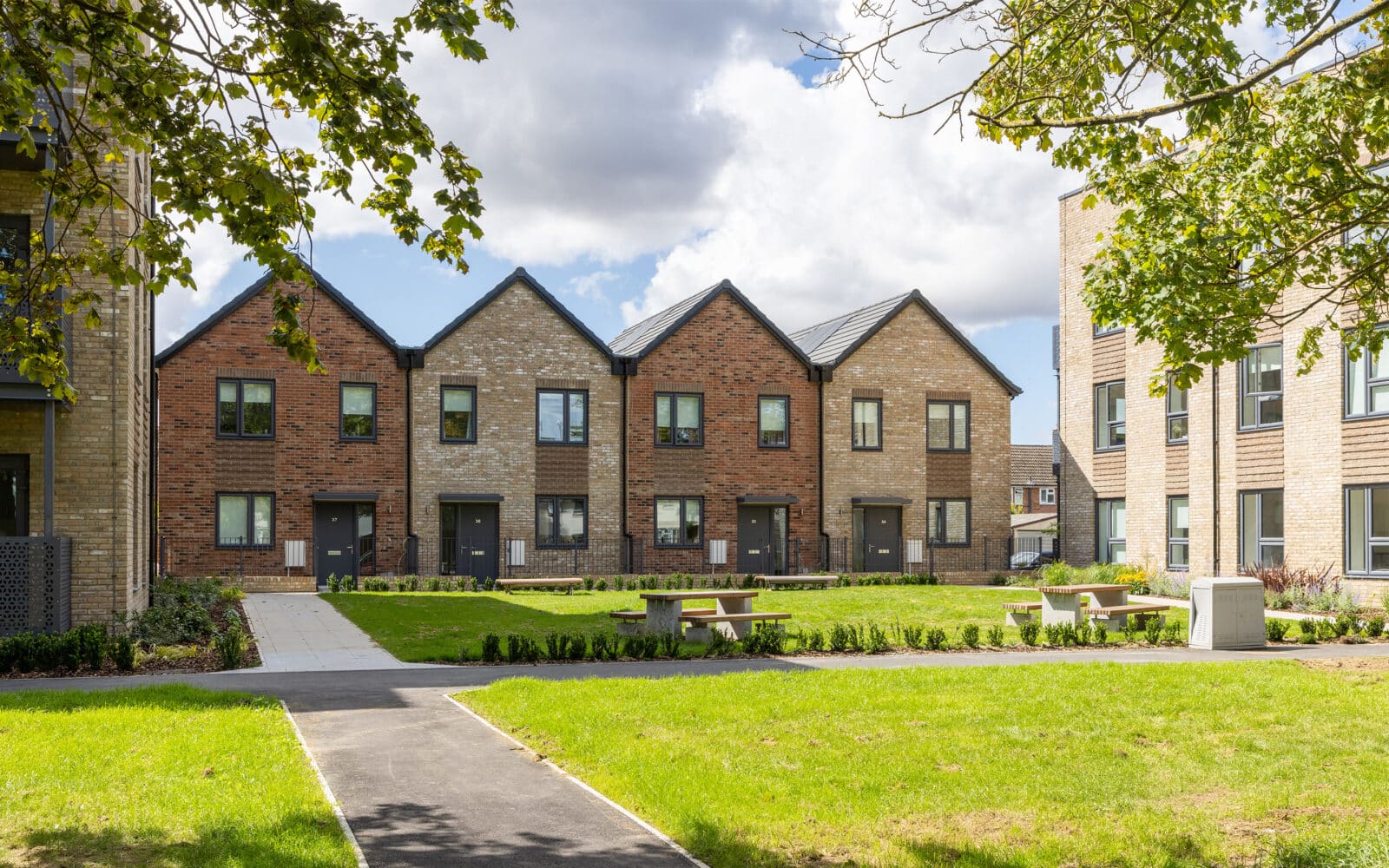
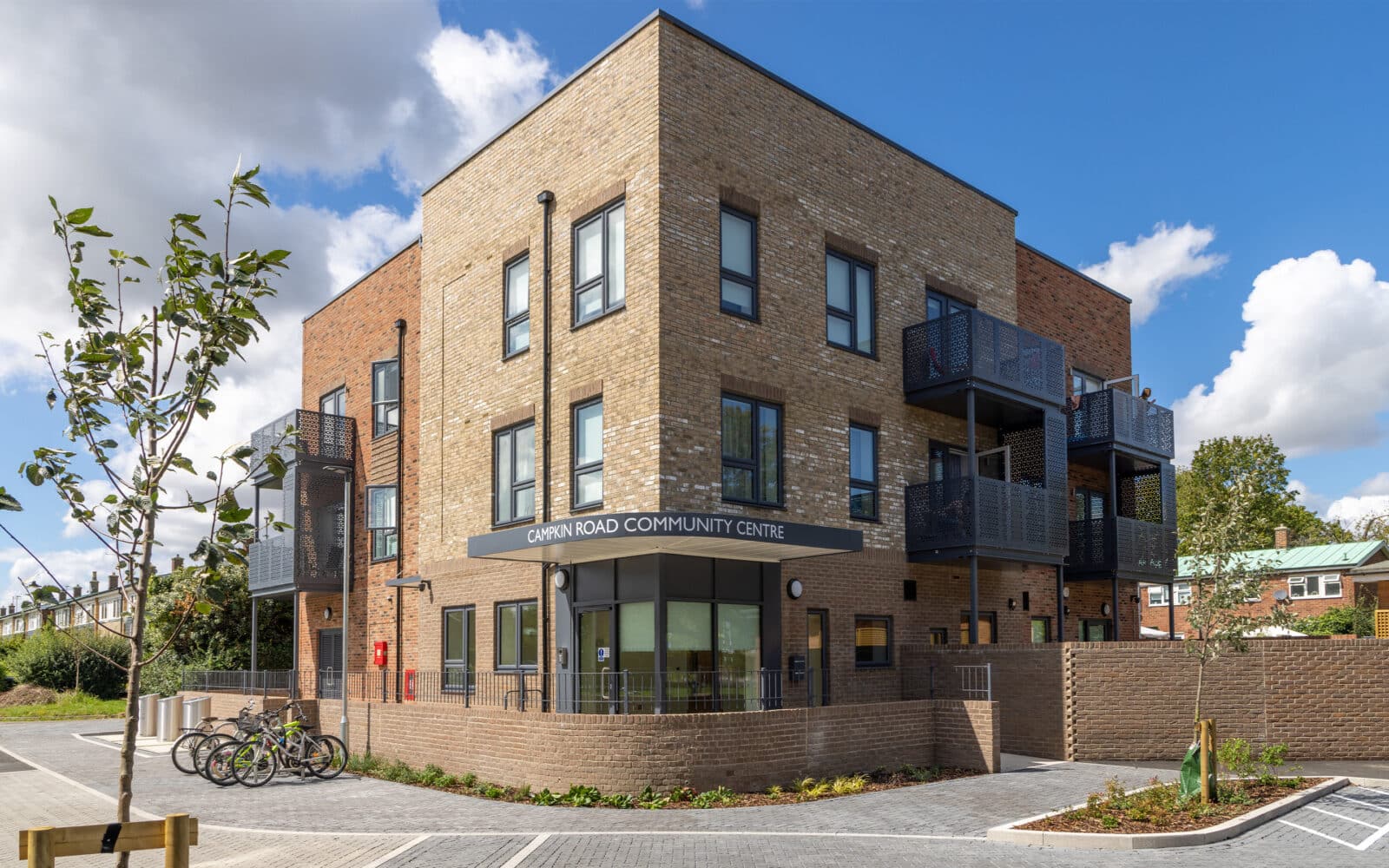
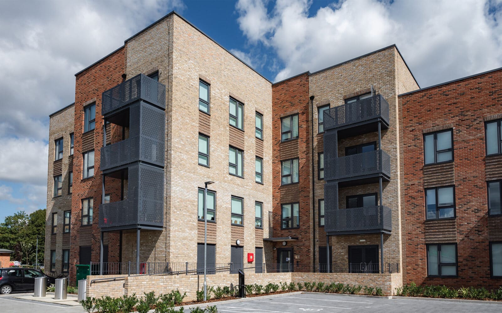
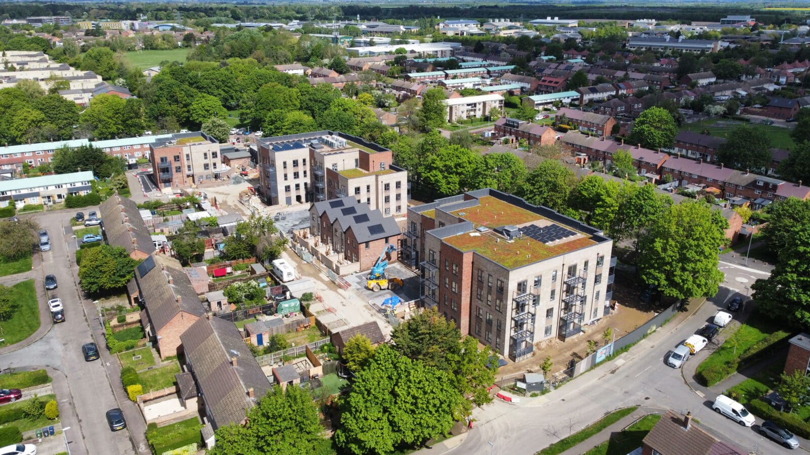
Situated in the north of Cambridge, Campkin Road was designed by BPTW architects and draws inspiration from the surrounding vernacular architecture. The development for Cambridge Investment Partnership (CIP) provides 75 new, highly sustainable homes and apartments, green spaces and a community centre across four buildings of two to four storeys. The new homes replace 32 post-war flats, with 100% affordable tenures, contributing to the Council’s 500 Council Home Programme to meet housing needs across Cambridge.
CREATE’S ROLE
We were initially appointed to provide multidisciplinary services (Acoustics, Air Quality, Civil Engineering, Geo-environmental, MEP, Sustainability, Flood Risk) in support of the planning application in 2019. We subsequently remained involved throughout the design period, before supporting the construction and post-construction stages from 2021 onwards.
Our roles, technical services and outputs included:
- Phase 1 Contaminated Land Assessment
- Initial Baseline Noise Monitoring
- Detailed Noise Break-in Calculations
- MUGA Noise Assessment
- Architectural Acoustics Advice
- Flood Risk Assessment
- Foul and Surface Water Drainage Assessment
- Surface Water Modelling and Associated Developer Case Runs
- Phase 2 Geo-Environmental Site Investigation
- Ground Gas Monitoring and Risk Assessment
- Remediation Strategy
- Energy Statement
- Sustainability Statement
- Overheating Assessment
- Utilities Assessment
- External Lighting Design and Lighting Impact Assessment
- BREEAM Pre-Assessment
- Temporary Works Design
- Detailed Demolition
- Piling and Construction Noise and Vibration Assessment
- Plant Noise Assessment
- Construction Noise and Vibration Assessment
- Supervision and Verification of Remediation Works
- BREEAM Post Construction Assessment
CHALLENGES
During the planning stage it was discovered that the site lay within the High Risk Surface Water Flood Zone, requiring detailed Surface Water Modelling to ensure the development remained safe from flooding without increasing risk elsewhere – all whilst maintaining safe access and egress. Our Water & Flood Risk team worked closely with the Lead Local Flood Authority (LLFA) to identify and mitigate the flood risks posed to the development.
ACHIEVEMENTS AND BENEFITS
Unanimous planning approval was secured in March 2020, underpinned by our detailed Surface Water Model which demonstrated that appropriate mitigation had been incorporated to reduce flood risk on the site without increasing risk elsewhere. Our multidisciplinary input supported the delivery of 75 100% affordable homes for Cambridge, contributing directly to the Council’s 500 Council Home Programme.
- Winner: Best Large Social Housing Development in East Anglia, LABC Building Excellence Regional Awards 2024
- Winner: Best Large Social Housing Development, LABC Grand Finals 2024